On our Riddled walking tour, we visit some of the historic closes in Dundee, including Harry Ogilvie’s close and Couttie’s Wynd.
If you’ve been out on the tour in the dark, or just didn’t have a chance to read the plaques which tell us about the history of these closes here is all the info you need.
The plaques were installed by Dundee Civic Trust who also did a study on the current state and historical significance and the opportunities for development and conservation. Hopefully these historic closes will survive the test of time and get a new lease of life for future generations.
Harry Ogilvie’s Close / Scott’s Close

Location of Harry Ogilvie’s Close / Scotts Close, just off Nethergate, Dundee. | 
The plaque can be found near the entrance to the close at the Nethergate end. |

The text on the plaque can be hard to read, so here’s the full text that is on this plaque:
Identified by William Crawford Snr. in his map of 1776 this close’s title probably derives from the name of the proprietor of a public house which adjoined the close at the West corner of Crichton Street. This close formerly met Fish Street at its Southern end, but was blocked when that street was demolished for the construction of Whitehall Crescent around 1886. A blocked-up 17th century stair tower lies immediately to the South, although the building facing Crichton Street in which it is contained was extensively altered in the 19th century. There are attractive windows throughout this close and looking North you can get an impression of the 6-storeyed medieval city which Dundee used to be. Don’t miss the side pend which leads out on to Crichton Street along the South side of The Pillars public house.

Location of Couttie’s Wynd, just off Nethergate, Dundee. | 
Plaque for Couttie’s Wynd, found at the bottom where it meets Whitehall Crescent. |
Couttie’s Wynd
Again a bit hard to read for some, so here’s the full text of the plaque:
This was the principal route connecting Town Centre and Harbour and is the oldest surviving North South thoroughfare within Dundee City Centre, dating from before 1200. In 1200 it was chosen for the site of the mansion of David, Earl of Huntingdon. It later became known as Abbott’s Wynd when the monks of Arbroath Abbey acquired property at its Northern entrance. The close originally ran from the Harbour, up to the Nethergate, past the East gable of St Mary’s Church, along Tally Street, across the Overgate, along Friar’s Vennel to the Howff and the Meadows.
Later known as Spalding’s Wynd after Richard Spalding who settled in Dundee prior to 1342 and became Lord Provost in 1376, it became known as Couttie’s Wynd in 1521 when William Couttie, butcher, acquired property here on the West side of the Wynd.
Originally a narrow lane, curved for weather protection, it was widened in 1769. Later between 1837 and 1858 the South-West frontage was developed and between 1871 and 1900 the North-East frontage was rebuilt, enabling the widening of the central part of the wynd. Shop and house windows originally lined both sides

Image of current day Couttie’s Wynd – Taken in 2022. | 
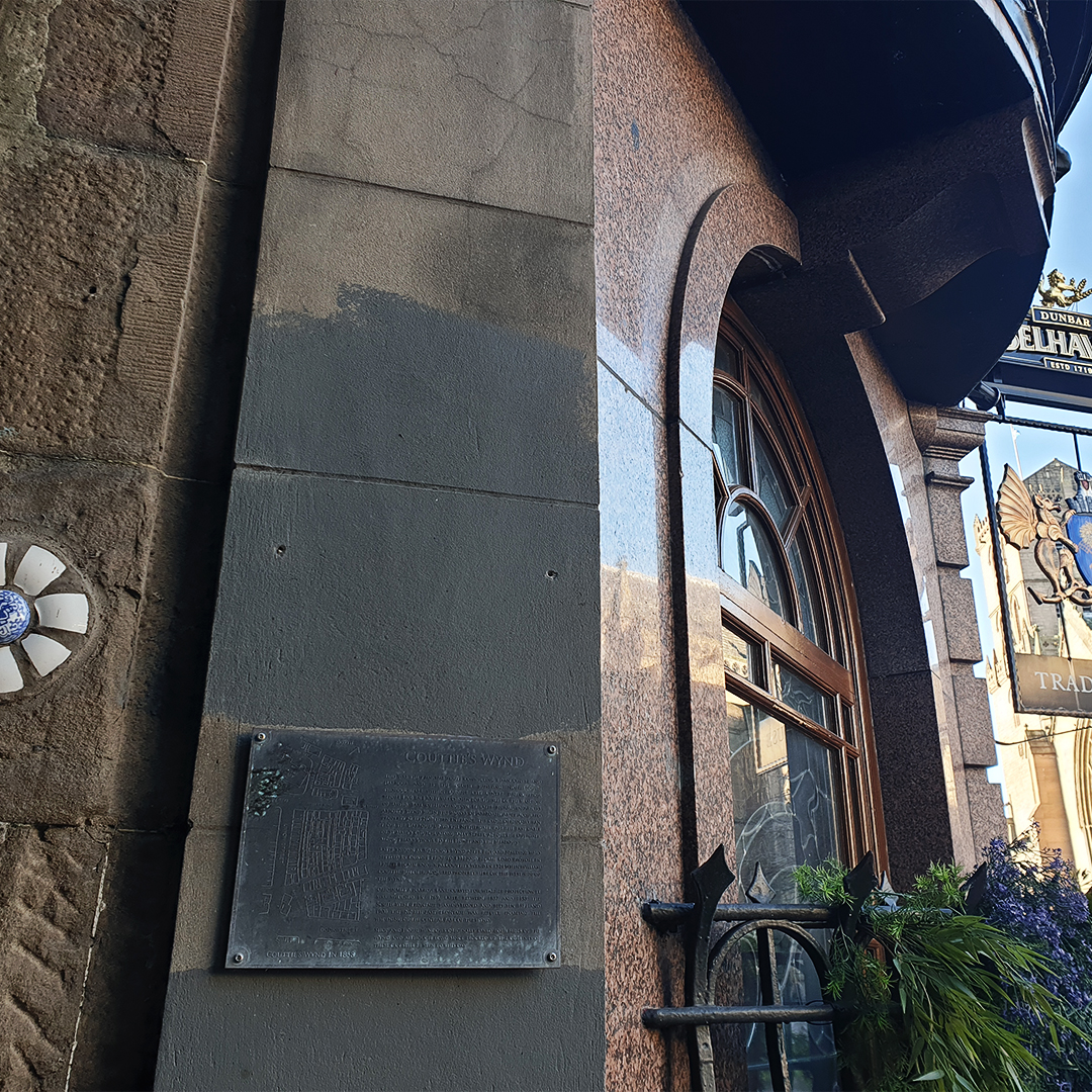
There is also a plaque at the Nethergate end of Couttie’s Wynd. |
– DD Tours operates walking tours in Dundee city, covering dark local history such as wars, battles, murders, diseases, riots, disasters and executions. Walk with us for an unforgettable storytelling experience.
OR